
Easter topographic map
Interactive map
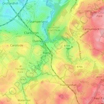
Click on the map to display elevation.
About this map
Name: Easter topographic map, elevation, terrain.
Location: Easter, East Renfrewshire, Scotland, G76 8HR, United Kingdom (55.76183 -4.28202 55.80183 -4.24202)
Average elevation: 348 ft
Minimum elevation: 135 ft
Maximum elevation: 548 ft