
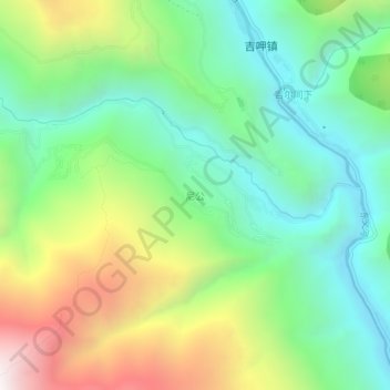
尼公 topographic map
Interactive map
Click on the map to display elevation.
About this map
Name: 尼公 topographic map, elevation, terrain.
Location: 尼公, 稻城县, 甘孜藏族自治州, 四川省, 627700, 中国 (28.07501 100.23390 28.11501 100.27390)
Average elevation: 8,219 ft
Minimum elevation: 6,555 ft
Maximum elevation: 11,339 ft
Other topographic maps
Click on a map to view its topography, its elevation and its terrain.