
Alegrete topographic map
Interactive map
Click on the map to display elevation.
About this map
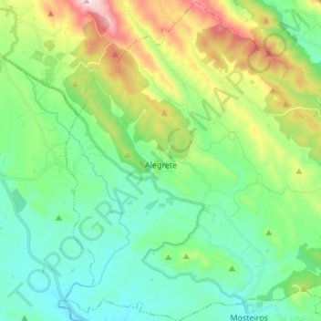
Name: Alegrete topographic map, elevation, terrain.
Location: Alegrete, Portalegre, Alto Alentejo, Alentejo, Portugal (39.18912 -7.36279 39.29345 -7.23999)
Average elevation: 1,614 ft
Minimum elevation: 1,047 ft
Maximum elevation: 3,064 ft