
Ronan topographic map
Interactive map
Click on the map to display elevation.
About this map
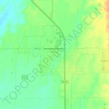
Name: Ronan topographic map, elevation, terrain.
Location: Ronan, Lake County, Montana, États-Unis d'Amérique (47.51199 -114.11760 47.54409 -114.08207)
Average elevation: 3,058 ft
Minimum elevation: 3,002 ft
Maximum elevation: 3,133 ft