
Sömmerda topographic map
Interactive map
Click on the map to display elevation.
About this map
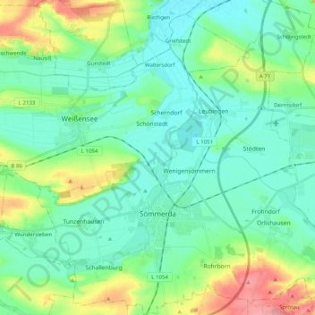
Name: Sömmerda topographic map, elevation, terrain.
Location: Sömmerda, Landkreis Sömmerda, Thuringe, 99610, Allemagne (51.12171 11.04143 51.24618 11.23796)
Average elevation: 509 ft
Minimum elevation: 420 ft
Maximum elevation: 778 ft