
Ninfield topographic map
Interactive map
Click on the map to display elevation.
About this map
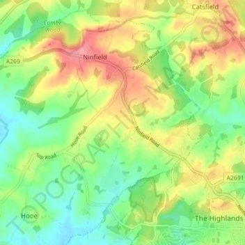
Name: Ninfield topographic map, elevation, terrain.
Location: Ninfield, Wealden, East Sussex, England, United Kingdom (50.85604 0.37980 50.89692 0.45013)
Average elevation: 121 ft
Minimum elevation: -3 ft
Maximum elevation: 279 ft