
八公山国家森林公园 topographic map
Interactive map
Click on the map to display elevation.
About this map
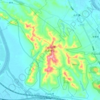
Name: 八公山国家森林公园 topographic map, elevation, terrain.
Location: 八公山国家森林公园, 八公山乡, 寿县, 淮南市, 安徽省, 中国 (32.59661 116.73250 32.67573 116.82956)
Average elevation: 203 ft
Minimum elevation: 52 ft
Maximum elevation: 774 ft