
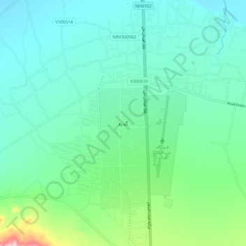
Guzarah topographic map
Interactive map
Click on the map to display elevation.
About this map
Name: Guzarah topographic map, elevation, terrain.
Location: Guzarah, Guzara, Herat, Afghanistan (34.17223 62.17235 34.25223 62.25235)
Average elevation: 3,212 ft
Minimum elevation: 3,048 ft
Maximum elevation: 3,845 ft