Geolocate

Beauty topographic map

Click on the map to display elevation.

About this map

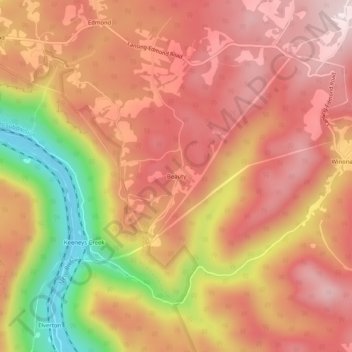
Name: Beauty topographic map, elevation, terrain.

Location: Beauty, Fayette County, West Virginia, 25837, United States (38.02483 -81.03621 38.06483 -80.99621)

Average elevation: 1,919 ft

Minimum elevation: 886 ft

Maximum elevation: 2,480 ft

Fayette County trails, hiking, mountain biking, running and outdoor activities

Other topographic maps

Click on a map to view its topography, its elevation and its terrain.

Ansted

United States > West Virginia > Fayette County

Average elevation: 1,572 ft

Powellton

United States > West Virginia > Fayette County

Average elevation: 1,552 ft

Smithers

United States > West Virginia > Fayette County

Average elevation: 1,119 ft

Montgomery

United States > West Virginia > Fayette County

Average elevation: 1,106 ft

Pax

United States > West Virginia > Fayette County

Average elevation: 1,821 ft

Gear up for your next adventure:

🪶Thermal Camp Blanket - Extra warmth for cold nights
🏔️Mountain Trail Maps - High‑detail maps for popular peaks
🦶Hiking Gaiters - Keep debris and water out of your boots
🛌Ultralight Sleeping Bags - Compact down bags for cold nights in the wilderness
🚪Portable Camp Chair - Foldable chair for comfort at camp

As an Amazon Associate, this site earns from qualifying purchases at no extra cost to you.