
Batu Pahat topographic map
Interactive map
Click on the map to display elevation.
About this map
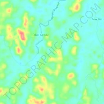
Name: Batu Pahat topographic map, elevation, terrain.
Location: Batu Pahat, West Kalimantan, Indonesia (-0.53144 110.72116 -0.49144 110.76116)
Average elevation: 249 ft
Minimum elevation: 171 ft
Maximum elevation: 453 ft