
Kings Mountain State Park topographic map
Interactive map
Click on the map to display elevation.
About this map
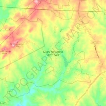
Name: Kings Mountain State Park topographic map, elevation, terrain.
Average elevation: 787 ft
Minimum elevation: 568 ft
Maximum elevation: 1,020 ft
Other topographic maps
Click on a map to view its topography, its elevation and its terrain.
Kings Mountain National Military Park
United States > South Carolina > York County > Blacksburg
Kings Mountain National Military Park, Blacksburg, York County, South Carolina, 29702, United States
Average elevation: 791 ft