
Picnic Point topographic map
Interactive map
Click on the map to display elevation.
About this map
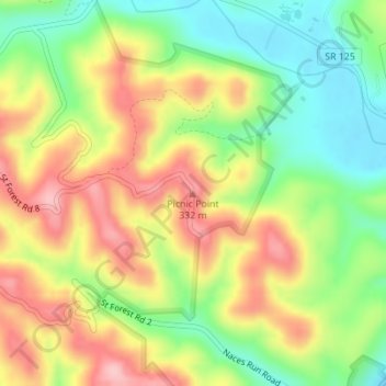
Name: Picnic Point topographic map, elevation, terrain.
Location: Picnic Point, Scioto County, Ohio, United States (38.69308 -83.12884 38.69318 -83.12874)
Average elevation: 804 ft
Minimum elevation: 535 ft
Maximum elevation: 1,102 ft
Other topographic maps
Click on a map to view its topography, its elevation and its terrain.
Portsmouth
United States > Ohio > Scioto County
Portsmouth, Scioto County, Ohio, United States
Average elevation: 692 ft