
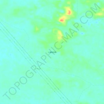
小营盘浩特 topographic map
Interactive map
Click on the map to display elevation.
About this map
Name: 小营盘浩特 topographic map, elevation, terrain.
Location: 小营盘浩特, 赛音呼都嘎苏木, 正蓝旗, 锡林郭勒盟, 内蒙古自治区, 中国 (42.70797 116.44909 42.74797 116.48909)
Average elevation: 4,501 ft
Minimum elevation: 4,465 ft
Maximum elevation: 4,613 ft
Other topographic maps
Click on a map to view its topography, its elevation and its terrain.