Geolocate

Padanaram topographic map

Click on the map to display elevation.

About this map

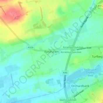
Name: Padanaram topographic map, elevation, terrain.

Location: Padanaram, Angus, Scotland, DD8 1PT, United Kingdom (56.63185 -2.95481 56.67185 -2.91481)

Average elevation: 223 ft

Minimum elevation: 167 ft

Maximum elevation: 374 ft

Gear up for your next adventure:

📶Vehicle Signal Boosters - Improve reception in rural areas while driving to trailheads
🌡️Handheld Weather Meters - Measure wind, temp, and pressure for safe mountain travel
🥾Hiking Shoes - Durable and comfortable shoes for trail hiking
🪶Wildlife Field Guides - Learn animal tracking and species ID
🪶Camp Gear Gift Set - Perfect gift bundle for outdoor fans

As an Amazon Associate, this site earns from qualifying purchases at no extra cost to you.