
Roper topographic map
Interactive map
Click on the map to display elevation.
About this map
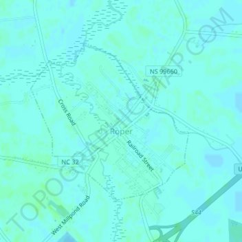
Name: Roper topographic map, elevation, terrain.
Location: Roper, Washington County, North Carolina, United States (35.87029 -76.62765 35.88780 -76.60589)
Average elevation: 13 ft
Minimum elevation: 7 ft
Maximum elevation: 26 ft
Other topographic maps
Click on a map to view its topography, its elevation and its terrain.
Westover
United States > North Carolina > Washington County > Westover
Westover, Washington County, North Carolina, United States
Average elevation: 10 ft