
Beckley topographic map
Interactive map
Click on the map to display elevation.
About this map
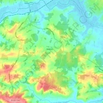
Name: Beckley topographic map, elevation, terrain.
Location: Beckley, Rother, East Sussex, England, United Kingdom (50.94807 0.60539 51.01787 0.68093)
Average elevation: 95 ft
Minimum elevation: -7 ft
Maximum elevation: 302 ft