
Oberägeri topographic map
Interactive map
Click on the map to display elevation.
About this map
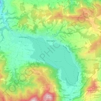
Name: Oberägeri topographic map, elevation, terrain.
Location: Oberägeri, Zug, 6315, Schweiz (47.09200 8.59451 47.16348 8.70116)
Average elevation: 2,992 ft
Minimum elevation: 2,083 ft
Maximum elevation: 4,744 ft
Other topographic maps
Click on a map to view its topography, its elevation and its terrain.