
Mühlethal topographic map
Interactive map
Click on the map to display elevation.
About this map
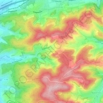
Name: Mühlethal topographic map, elevation, terrain.
Location: Mühlethal, Zofingen, Bezirk Zofingen, Aargau, 4812, Schweiz (47.28146 7.95959 47.32146 7.99959)
Average elevation: 1,808 ft
Minimum elevation: 1,437 ft
Maximum elevation: 2,178 ft