
Col de l'Esse topographic map
Interactive map
Click on the map to display elevation.
About this map
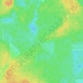
Name: Col de l'Esse topographic map, elevation, terrain.
Average elevation: 456 ft
Minimum elevation: 407 ft
Maximum elevation: 509 ft
Other topographic maps
Click on a map to view its topography, its elevation and its terrain.
Château de Chamerolles
France > Centre-Val de Loire > Chilleurs-aux-Bois
Château de Chamerolles, Route de Gallerand, Chilleurs-aux-Bois, Pithiviers, Loiret, Centre-Val de Loire, France métropolitaine, 45170, France
Average elevation: 417 ft