
海珠湖 topographic map
Interactive map
Click on the map to display elevation.
About this map
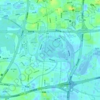
Name: 海珠湖 topographic map, elevation, terrain.
Location: 海珠湖, 南洲街道, 海珠区, 广州市, 广东省, 中国 (23.07269 113.31360 23.07846 113.32256)
Average elevation: 20 ft
Minimum elevation: -33 ft
Maximum elevation: 66 ft
Other topographic maps
Click on a map to view its topography, its elevation and its terrain.