
Londo topographic map
Interactive map
Click on the map to display elevation.
About this map
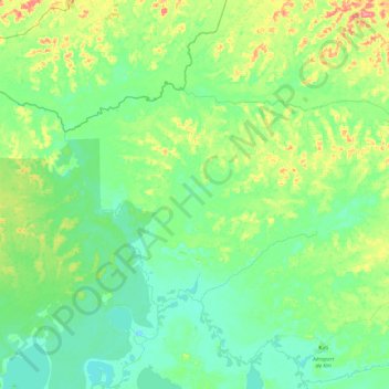
Name: Londo topographic map, elevation, terrain.
Location: Londo, Mai-Ndombe, Democratic Republic of the Congo (-1.44741 18.60948 -1.16740 19.08937)
Average elevation: 1,004 ft
Minimum elevation: 945 ft
Maximum elevation: 1,175 ft
Other topographic maps
Click on a map to view its topography, its elevation and its terrain.
25 km
Democratic Republic of the Congo > Mai-Ndombe > Mai-Ndombe
25 km, Mai-Ndombe, Democratic Republic of the Congo
Average elevation: 994 ft