Geolocate

Kaylaway topographic map

Click on the map to display elevation.

About this map
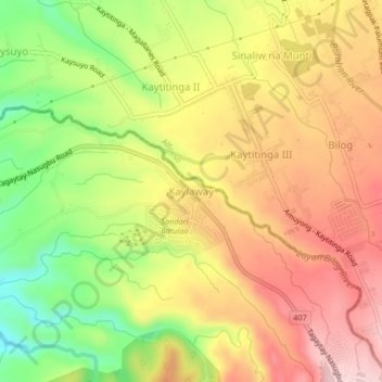
Name: Kaylaway topographic map, elevation, terrain.

Location: Kaylaway, Nasugbu, Batangas, Calabarzon, 4231, Philippines (14.07624 120.80358 14.11624 120.84358)

Average elevation: 1,411 ft

Minimum elevation: 935 ft

Maximum elevation: 1,804 ft

Gear up for your next adventure:

🏕️Tent Footprint - Protect your tent base from wear
🥤Water Filter Bottle - All‑in‑one filter bottle for safe hydration
📡GPS Antenna Upgrade - Enhance GPS reception in remote terrain
🔦Compact Flashlight - Reliable flashlight for emergencies
🛰️Satellite Messengers - Emergency SOS and two-way messaging for off-grid adventures

As an Amazon Associate, this site earns from qualifying purchases at no extra cost to you.