
Ramil topographic map
Interactive map
Click on the map to display elevation.
About this map
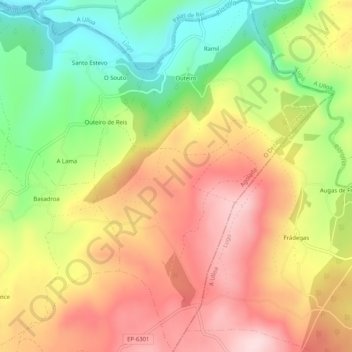
Name: Ramil topographic map, elevation, terrain.
Location: Ramil, Agolada, Comarca do Deza, Pontevedra, Galicia, España (42.81227 -7.99115 42.84968 -7.95641)
Average elevation: 1,555 ft
Minimum elevation: 1,050 ft
Maximum elevation: 2,014 ft