
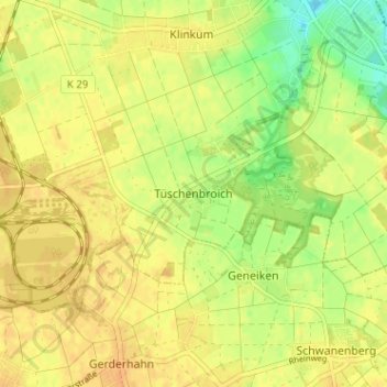
Tüschenbroich topographic map
Interactive map
Click on the map to display elevation.
About this map
Name: Tüschenbroich topographic map, elevation, terrain.
Average elevation: 272 ft
Minimum elevation: 210 ft
Maximum elevation: 299 ft
Other topographic maps
Click on a map to view its topography, its elevation and its terrain.
Meinweg
Duitsland > Noordrijn-Westfalen > Kreis Heinsberg > Wegberg
Meinweg, Wegberg, Kreis Heinsberg, Noordrijn-Westfalen, 41844, Duitsland
Average elevation: 256 ft