
Manalur topographic map
Interactive map
Click on the map to display elevation.
About this map
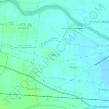
Name: Manalur topographic map, elevation, terrain.
Average elevation: 85 ft
Minimum elevation: 72 ft
Maximum elevation: 105 ft
Other topographic maps
Click on a map to view its topography, its elevation and its terrain.
Kiliyanur
India > Tamil Nadu > Needamangalam
Kiliyanur, Needamangalam, Thiruvarur District, Tamil Nadu, India
Average elevation: 30 ft
Nagar
India > Tamil Nadu > Needamangalam
Nagar, Needamangalam, Thiruvarur District, Tamil Nadu, 614403, India
Average elevation: 82 ft