
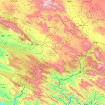
Khoramabad County topographic map
Interactive map
Click on the map to display elevation.
About this map
Name: Khoramabad County topographic map, elevation, terrain.
Location: Khoramabad County, Lorestan Province, Iran (32.89116 48.04861 33.90420 48.99893)
Average elevation: 5,584 ft
Minimum elevation: 1,795 ft
Maximum elevation: 11,673 ft