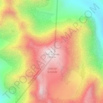
Cerro Grande topographic map
Interactive map
Click on the map to display elevation.
About this map
Name: Cerro Grande topographic map, elevation, terrain.
Average elevation: 5,814 ft
Minimum elevation: 3,990 ft
Maximum elevation: 7,408 ft

Click on the map to display elevation.
Name: Cerro Grande topographic map, elevation, terrain.
Average elevation: 5,814 ft
Minimum elevation: 3,990 ft
Maximum elevation: 7,408 ft