
Alcalá topographic map
Interactive map
Click on the map to display elevation.
About this map
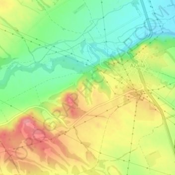
Name: Alcalá topographic map, elevation, terrain.
Location: Alcalá, Azaila, Bajo Martín, Teruel, Aragón, España (41.27784 -0.51458 41.29784 -0.49458)
Average elevation: 886 ft
Minimum elevation: 735 ft
Maximum elevation: 1,053 ft