
Carew Cheriton topographic map
Interactive map
Click on the map to display elevation.
About this map
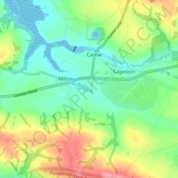
Name: Carew Cheriton topographic map, elevation, terrain.
Average elevation: 115 ft
Minimum elevation: -56 ft
Maximum elevation: 318 ft
Other topographic maps
Click on a map to view its topography, its elevation and its terrain.
Carew Castle
United Kingdom > Wales > Pembrokeshire > Carew
Carew Castle, Castle Lane, Carew, Pembrokeshire, Wales, SA70 8SN, United Kingdom
Average elevation: 75 ft