
Ghangaria topographic map
Interactive map
Click on the map to display elevation.
About this map
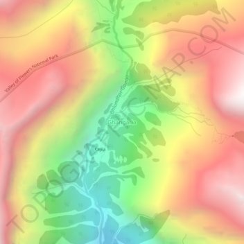
Name: Ghangaria topographic map, elevation, terrain.
Location: Ghangaria, Joshimath, Chamoli, Uttarakhand, India (30.68159 79.57407 30.72159 79.61407)
Average elevation: 12,274 ft
Minimum elevation: 8,855 ft
Maximum elevation: 15,243 ft