
Oberhausen an der Nahe topographic map
Interactive map
Click on the map to display elevation.
About this map
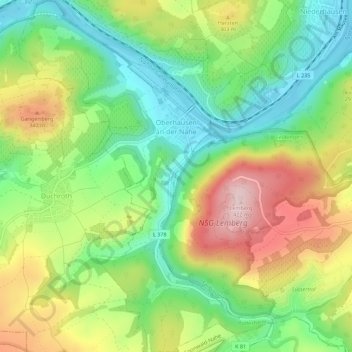
Name: Oberhausen an der Nahe topographic map, elevation, terrain.
Average elevation: 794 ft
Minimum elevation: 394 ft
Maximum elevation: 1,371 ft
Other topographic maps
Click on a map to view its topography, its elevation and its terrain.
Windesheim
Deutschland > Rheinland-Pfalz > Landkreis Bad Kreuznach
Windesheim, Langenlonsheim-Stromberg, Landkreis Bad Kreuznach, Rheinland-Pfalz, Deutschland
Average elevation: 719 ft