
Hinganghat topographic map
Interactive map
Click on the map to display elevation.
About this map
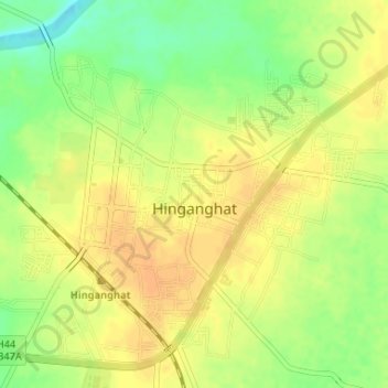
Name: Hinganghat topographic map, elevation, terrain.
Location: Hinganghat, Wardha, Maharashtra, 442300, India (20.53571 78.82582 20.56328 78.85859)
Average elevation: 732 ft
Minimum elevation: 666 ft
Maximum elevation: 768 ft