
Complex topographic map
Interactive map
Click on the map to display elevation.
About this map
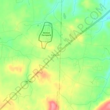
Name: Complex topographic map, elevation, terrain.
Location: Complex, Davidson County, North Carolina, USA (35.55819 -80.08644 35.59819 -80.04644)
Average elevation: 709 ft
Minimum elevation: 564 ft
Maximum elevation: 886 ft