
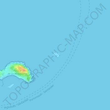
Isla de Mouro topographic map
Interactive map
Click on the map to display elevation.
About this map
Name: Isla de Mouro topographic map, elevation, terrain.
Location: Isla de Mouro, Somo, Andraka, 39140, España (43.47226 -3.75696 43.47369 -3.75463)
Average elevation: 0 ft
Minimum elevation: 0 ft
Maximum elevation: 125 ft