
Citadelle de Belfort topographic map
Interactive map
Click on the map to display elevation.
About this map
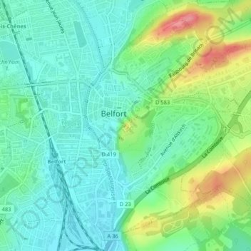
Name: Citadelle de Belfort topographic map, elevation, terrain.
Average elevation: 1,250 ft
Minimum elevation: 1,155 ft
Maximum elevation: 1,467 ft
Other topographic maps
Click on a map to view its topography, its elevation and its terrain.
Belfort
France > Bourgogne-Franche-Comté > Territoire-de-Belfort > Belfort
Belfort, Territoire-de-Belfort, Bourgogne-Franche-Comté, France métropolitaine, 90000, France
Average elevation: 1,437 ft