
Udhampur topographic map
Interactive map
Click on the map to display elevation.
About this map
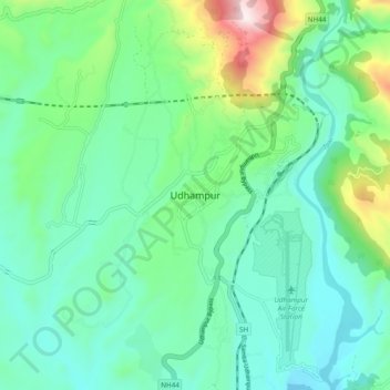
Name: Udhampur topographic map, elevation, terrain.
Location: Udhampur, Rajauri, Jammu and Kashmir, 182101, India (32.88197 75.09315 32.96197 75.17315)
Average elevation: 2,379 ft
Minimum elevation: 1,785 ft
Maximum elevation: 4,337 ft