
Santa Martha topographic map
Interactive map
Click on the map to display elevation.
About this map
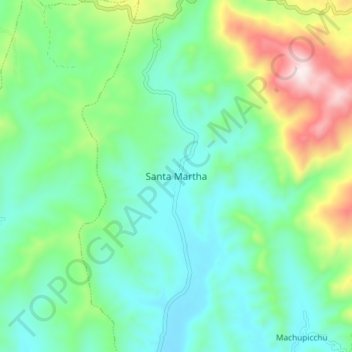
Name: Santa Martha topographic map, elevation, terrain.
Location: Santa Martha, Santa Rosa, El Dorado, San Martín, Perú (-6.71451 -76.66322 -6.63451 -76.58322)
Average elevation: 1,562 ft
Minimum elevation: 945 ft
Maximum elevation: 3,222 ft