
黃竹坑新圍 Wong Chuk Hang San Wai topographic map
Interactive map
Click on the map to display elevation.
About this map
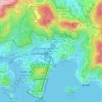
Name: 黃竹坑新圍 Wong Chuk Hang San Wai topographic map, elevation, terrain.
Average elevation: 381 ft
Minimum elevation: -10 ft
Maximum elevation: 1,535 ft