
Koto topographic map
Interactive map
Click on the map to display elevation.
About this map
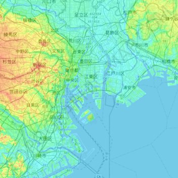
Name: Koto topographic map, elevation, terrain.
Location: Koto, Tokyo, 135-0053, Japan (35.48915 139.65279 35.80915 139.97279)
Average elevation: 36 ft
Minimum elevation: -23 ft
Maximum elevation: 226 ft