Geolocate

Olching topographic map

Click on the map to display elevation.

About this map

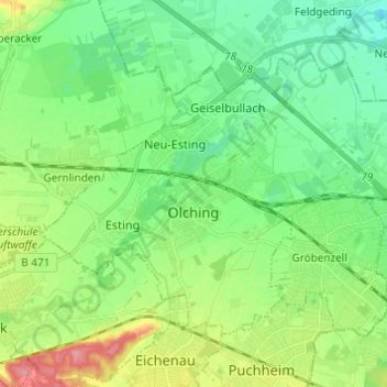
Name: Olching topographic map, elevation, terrain.

Location: Olching, Landkreis Fürstenfeldbruck, Bavaria, 82140, Germany (48.17809 11.28319 48.23715 11.40485)

Average elevation: 1,670 ft

Minimum elevation: 1,575 ft

Maximum elevation: 1,877 ft

Gear up for your next adventure:

🪶Camping Sleeping Pad - Comfortable sleeping pad for backpacking
🎒Day Hiking Backpack - Lightweight backpack perfect for day trips and outdoor adventures
🧤Tactile Hiking Gloves - Keep hands warm while operating GPS and smartphone screens
🖼️Topo Map Wall Art - Decorative topographic prints of famous peaks and regions
🔭Stargazing Telescopes - Perfect for camping in low-light pollution areas shown on maps

As an Amazon Associate, this site earns from qualifying purchases at no extra cost to you.