
Chandan Chowky topographic map
Interactive map
Click on the map to display elevation.
About this map
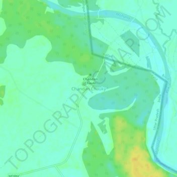
Name: Chandan Chowky topographic map, elevation, terrain.
Location: Chandan Chowky, Kheri, Uttar Pradesh, India (28.52187 80.74934 28.56187 80.78934)
Average elevation: 522 ft
Minimum elevation: 495 ft
Maximum elevation: 568 ft