
Mimi topographic map
Interactive map
Click on the map to display elevation.
About this map
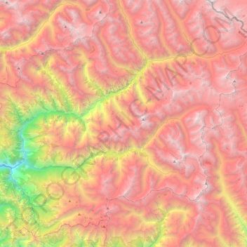
Name: Mimi topographic map, elevation, terrain.
Location: Mimi, Humla, Karnali, Mid-Western Development Region, Nepal (29.67710 82.05220 29.95337 82.49720)
Average elevation: 14,245 ft
Minimum elevation: 5,410 ft
Maximum elevation: 19,977 ft