
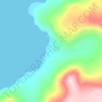
Kangilinnguit topographic map
Interactive map
Click on the map to display elevation.
About this map
Name: Kangilinnguit topographic map, elevation, terrain.
Location: Kangilinnguit, Sermersooq, Greenland (61.20978 -48.11835 61.24978 -48.07835)
Average elevation: 469 ft
Minimum elevation: -3 ft
Maximum elevation: 1,759 ft