
Kadmat Island topographic map
Interactive map
Click on the map to display elevation.
About this map
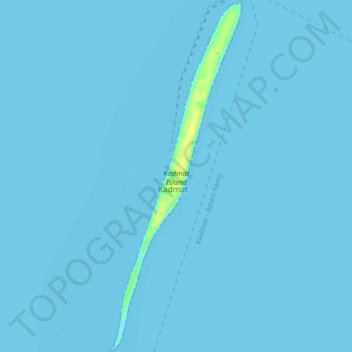
Name: Kadmat Island topographic map, elevation, terrain.
Location: Kadmat Island, Kadmat, Lakshadweep, India (11.17989 72.75982 11.25910 72.79013)
Average elevation: 0 ft
Minimum elevation: 0 ft
Maximum elevation: 49 ft