
丁南 topographic map
Interactive map
Click on the map to display elevation.
About this map
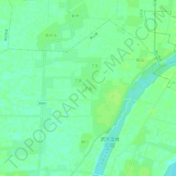
Name: 丁南 topographic map, elevation, terrain.
Location: 丁南, 罗庄区, 临沂市, 山东省, 中国 (34.84488 118.31056 34.88488 118.35056)
Average elevation: 177 ft
Minimum elevation: 157 ft
Maximum elevation: 190 ft