
Ratanpura topographic map
Interactive map
Click on the map to display elevation.
About this map
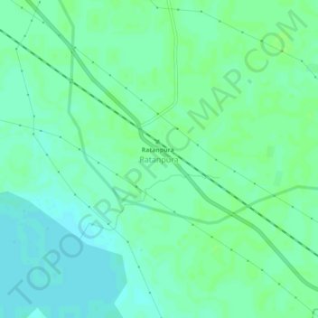
Name: Ratanpura topographic map, elevation, terrain.
Location: Ratanpura, Maunath Bhanjan, Mau, Uttar Pradesh, 221706, India (25.89970 83.72460 25.93970 83.76460)
Average elevation: 223 ft
Minimum elevation: 207 ft
Maximum elevation: 233 ft