
龙感湖 topographic map
Interactive map
Click on the map to display elevation.
About this map
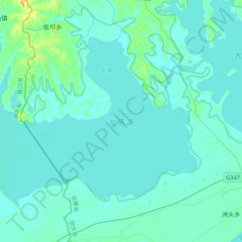
Name: 龙感湖 topographic map, elevation, terrain.
Location: 龙感湖, 佐坝乡, 宿松县, 安庆市, 安徽省, 中国 (29.87480 115.99094 30.05504 116.28316)
Average elevation: 46 ft
Minimum elevation: 20 ft
Maximum elevation: 341 ft