
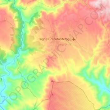
Foghesu/Perdasdefogu topographic map
Interactive map
Click on the map to display elevation.
About this map
Name: Foghesu/Perdasdefogu topographic map, elevation, terrain.
Location: Foghesu/Perdasdefogu, Nuoro, Sardinia, 08046, Italy (39.61637 9.39614 39.71367 9.51147)
Average elevation: 1,581 ft
Minimum elevation: 479 ft
Maximum elevation: 2,730 ft