
L'Enclos topographic map
Interactive map
Click on the map to display elevation.
About this map
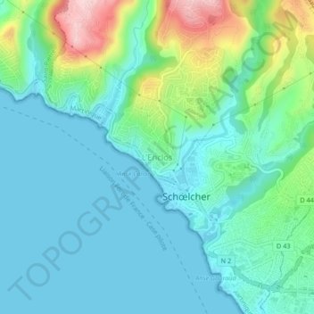
Name: L'Enclos topographic map, elevation, terrain.
Location: L'Enclos, Fort-de-France, Martinique, 97275, France (14.60192 -61.12432 14.64192 -61.08432)
Average elevation: 197 ft
Minimum elevation: 0 ft
Maximum elevation: 879 ft