
Kortenberg topographic map
Interactive map
Click on the map to display elevation.
About this map
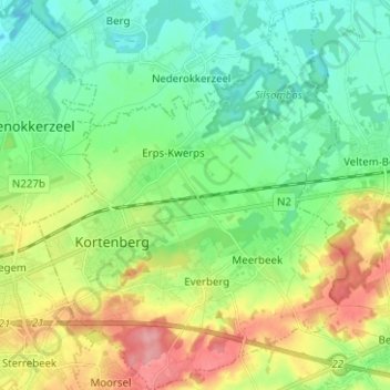
Name: Kortenberg topographic map, elevation, terrain.
Location: Kortenberg, Flemish Brabant, Flanders, Belgium (50.85585 4.51505 50.93484 4.61467)
Average elevation: 138 ft
Minimum elevation: 26 ft
Maximum elevation: 364 ft